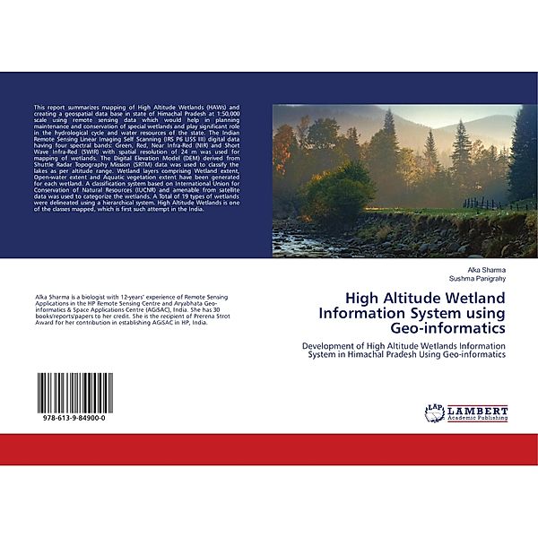
High Altitude Wetland Information System using Geo-informatics
Development of High Altitude Wetlands Information System in Himachal Pradesh Using Geo-informatics
(Sprache: Englisch)
This report summarizes mapping of High Altitude Wetlands (HAWs) and creating a geospatial data base in state of Himachal Pradesh at 1:50,000 scale using remote sensing data which would help in planning maintenance and conservation of special wetlands and...
Leider schon ausverkauft
versandkostenfrei
Buch
35.90 €
Produktdetails
Produktinformationen zu „High Altitude Wetland Information System using Geo-informatics “
Klappentext zu „High Altitude Wetland Information System using Geo-informatics “
This report summarizes mapping of High Altitude Wetlands (HAWs) and creating a geospatial data base in state of Himachal Pradesh at 1:50,000 scale using remote sensing data which would help in planning maintenance and conservation of special wetlands and play significant role in the hydrological cycle and water resources of the state. The Indian Remote Sensing Linear Imaging Self Scanning (IRS P6 LISS III) digital data having four spectral bands: Green, Red, Near Infra-Red (NIR) and Short Wave Infra-Red (SWIR) with spatial resolution of 24 m was used for mapping of wetlands. The Digital Elevation Model (DEM) derived from Shuttle Radar Topography Mission (SRTM) data was used to classify the lakes as per altitude range. Wetland layers comprising Wetland extent, Open-water extent and Aquatic vegetation extent have been generated for each wetland. A classification system based on International Union for Conservation of Natural Resources (IUCNR) and amenable from satellite data was used to categorize the wetlands. A Total of 19 types of wetlands were delineated using a hierarchical system. High Altitude Wetlands is one of the classes mapped, which is first such attempt in the India.
Autoren-Porträt von Alka Sharma, Sushma Panigrahy
Sharma, AlkaAlka Sharma is a biologist with 12-years' experience of Remote Sensing Applications in the HP Remote Sensing Centre and Aryabhata Geo-informatics & Space Applications Centre (AGiSAC), India. She has 30 books/reports/papers to her credit. She is the recipient of Prerena Strot Award for her contribution in establishing AGiSAC in HP, India.
Bibliographische Angaben
- Autoren: Alka Sharma , Sushma Panigrahy
- 2018, 60 Seiten, Maße: 22 cm, Kartoniert (TB), Englisch
- Verlag: LAP Lambert Academic Publishing
- ISBN-10: 6139849004
- ISBN-13: 9786139849000
Sprache:
Englisch
Kommentar zu "High Altitude Wetland Information System using Geo-informatics"
0 Gebrauchte Artikel zu „High Altitude Wetland Information System using Geo-informatics“
| Zustand | Preis | Porto | Zahlung | Verkäufer | Rating |
|---|


Schreiben Sie einen Kommentar zu "High Altitude Wetland Information System using Geo-informatics".
Kommentar verfassen