Mapping a Continent: Historical Atlas of North America, 1492-1814
(Sprache: Englisch)
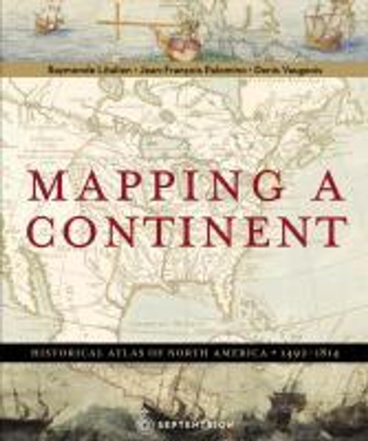
In March 1493, Christopher Columbus returned from a long voyage to the west, convinced he had reached India. In truth, an immense continent, then absent from any map, had blocked his path. A formidable barrier separating Europe from Asia, North America...
Leider schon ausverkauft
versandkostenfrei
Buch
57.25 €
![]() 28 DeutschlandCard Punkte
sammeln
28 DeutschlandCard Punkte
sammeln
- Lastschrift, Kreditkarte, Paypal, Rechnung
- Kostenlose Rücksendung
- Ratenzahlung möglich
Produktdetails
Produktinformationen zu „Mapping a Continent: Historical Atlas of North America, 1492-1814 “
In March 1493, Christopher Columbus returned from a long voyage to the west, convinced he had reached India. In truth, an immense continent, then absent from any map, had blocked his path. A formidable barrier separating Europe from Asia, North America became a coveted land, attracting sailors, missionaries, trappers, soldiers and scientists.
Bibliographische Angaben
- Autoren: Raymonde Litalien , Jean-Franois Palomino , Denis Vaugeois
- 2007, 298 Seiten, Maße: 27,3 x 33,4 cm, Gebunden, Englisch
- Übersetzer: Kathe Röth
- Verlag: Les 'Ditions Du Septentrion
- ISBN-10: 2894485271
- ISBN-13: 9782894485279
Sprache:
Englisch
Kommentar zu "Mapping a Continent: Historical Atlas of North America, 1492-1814"
0 Gebrauchte Artikel zu „Mapping a Continent: Historical Atlas of North America, 1492-1814“
| Zustand | Preis | Porto | Zahlung | Verkäufer | Rating |
|---|
Schreiben Sie einen Kommentar zu "Mapping a Continent: Historical Atlas of North America, 1492-1814".
Kommentar verfassen