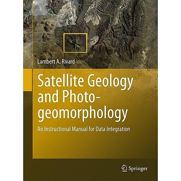
Satellite Geology and Photogeomorphology
An instructional manual for data integration
(Sprache: Englisch)
This is the first book to deal with the systematic integration of airphotos and satellite images in geological terrain evaluation. There is an explanation of the combined method of visual, qualitative analysis and interpretation of photo and image data sets.
Leider schon ausverkauft
versandkostenfrei
Buch
123.04 €
Produktdetails
Produktinformationen zu „Satellite Geology and Photogeomorphology “
This is the first book to deal with the systematic integration of airphotos and satellite images in geological terrain evaluation. There is an explanation of the combined method of visual, qualitative analysis and interpretation of photo and image data sets.
Klappentext zu „Satellite Geology and Photogeomorphology “
The twin sets of figures in the manual are presented as examples that demonstrate how the interfacing of stereo airphotos and satellite images in visual qualitative photogeomorphology studies can yield more geospatial information than can be derived from either source independently. The airphoto coverage in each satellite image is indicated by a frame. The photos and images are ordered into eleven sections according to the author's taxonomic classification of genetic groups as used in his Atlas and Glossary of Geohazard-associated Geounits. The figure sets of each section are preceded by characterisations of their genetic classification context. Some airphotos are taken from those used in the Atlas, the satellite images have been down loaded from USGS Global Visualitation Viewer. Inhaltsverzeichnis zu „Satellite Geology and Photogeomorphology “
Part I Introduction.- Purpose.- The data.- Advantages and limitations of airphotos for photogeological analysis, interpretation, and terrain mapping.- Airphotos used in the book.- Advantages and limitations of satellite imagery for photogeological analysis, interpretation, and terrain mapping.- Acquisition of satellite images used in the book.- Resolution of Geounits in downloaded images.- Classification of Photogeological Geounits.- Definition of photogeological Geounits and Variants as delineation Units for terrain mapping.- Classification of Geounits and Variants.- Examples of Data Integration.- Principles of analysis and interpretation of Geounits and Variants in airphoto and satellite imagery.- Examples of integration of imageries and airphotos for analysis and interpretation of Geounits and Variants.- Interpretive texts. Examples with geohazard relations.- Geological time scale.- Acknowledgments.- Bibliography.- Part 2 The Examples.- Magmatic Rocks and Structures.- Sedimentary Rocks.- Metamorphic Rocks.- Geostructures.- Aeolian Deposits and Erosion Forms.- Basinal Sediments.- Fluvial System Sediments.- Marine Littoral Systems.- Glacial and Paraglacial Geosytems.- Periglacial Related Forms.- Mass movement Materials.
Bibliographische Angaben
- Autor: Lambert A. Rivard
- 2012, 270 Seiten, 100 farbige Abbildungen, 80 Schwarz-Weiß-Abbildungen, Maße: 15,5 x 23,5 cm, Gebunden, Englisch
- Verlag: Springer
- ISBN-10: 3642206077
- ISBN-13: 9783642206078
Sprache:
Englisch
Kommentar zu "Satellite Geology and Photogeomorphology"
0 Gebrauchte Artikel zu „Satellite Geology and Photogeomorphology“
| Zustand | Preis | Porto | Zahlung | Verkäufer | Rating |
|---|


Schreiben Sie einen Kommentar zu "Satellite Geology and Photogeomorphology".
Kommentar verfassen