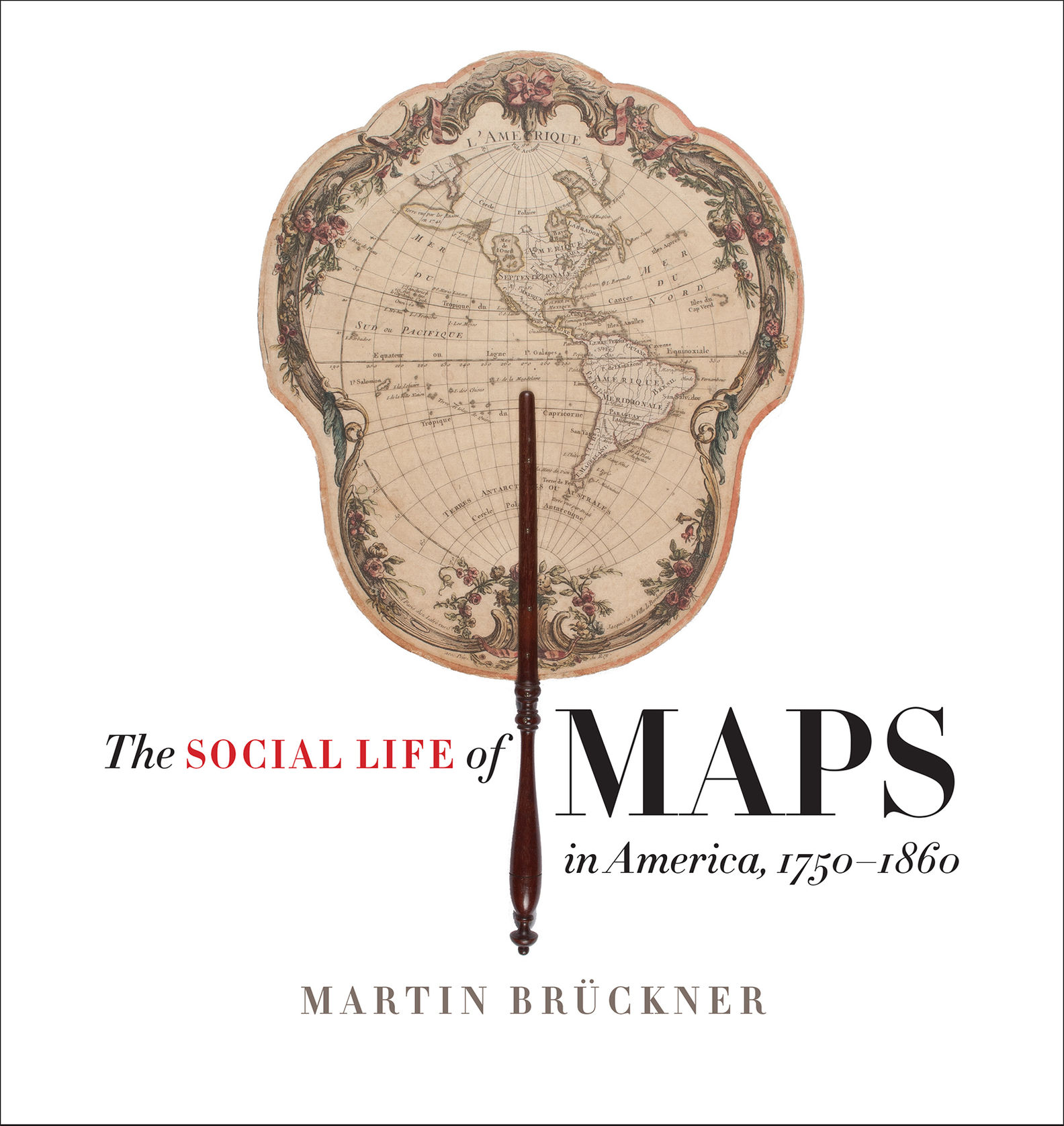
Published by the Omohundro Institute of Early American History and Culture and the University of North Carolina Press: The Social Life of Maps in America, 1750-1860 (ePub)
(Sprache: Englisch)

In the age of MapQuest and GPS, we take cartographic literacy for granted. We should not; the ability to find meaning in maps is the fruit of a long process of exposure and instruction. A "carto-coded" America--a nation in which maps are pervasive and...
Leider schon ausverkauft
eBook
31.99 €
![]() 15 DeutschlandCard Punkte
sammeln
15 DeutschlandCard Punkte
sammeln
- Lastschrift, Kreditkarte, Paypal, Rechnung
- Kostenloser tolino webreader
Produktdetails
Produktinformationen zu „Published by the Omohundro Institute of Early American History and Culture and the University of North Carolina Press: The Social Life of Maps in America, 1750-1860 (ePub)“
In the age of MapQuest and GPS, we take cartographic literacy for granted. We should not; the ability to find meaning in maps is the fruit of a long process of exposure and instruction. A "carto-coded" America--a nation in which maps are pervasive and meaningful--had to be created.
The Social Life of Maps tracks American cartography's spectacular rise to its unprecedented cultural influence.
Between 1750 and 1860, maps did more than communicate geographic information and political pretensions. They became affordable and intelligible to ordinary American men and women looking for their place in the world. School maps quickly entered classrooms, where they shaped reading and other cognitive exercises; giant maps drew attention in public spaces; miniature maps helped Americans chart personal experiences. In short, maps were uniquely social objects whose visual and material expressions affected commercial practices and graphic arts, theatrical performances and the communication of emotions.
This lavishly illustrated study follows popular maps from their points of creation to shops and galleries, schoolrooms and coat pockets, parlors and bookbindings. Between the decades leading up to the Revolutionary War and the Civil War, early Americans bonded with maps; Martin Bruckner's comprehensive history of quotidian cartographic encounters is the first to show us how.
Autoren-Porträt von Martin Brückner
Martin Bruckner is professor of English and material culture studies at the University of Delaware.

Bibliographische Angaben
- Autor: Martin Brückner
- 2017, 384 Seiten, Englisch
- Verlag: Omohundro Institute and University of North Carolina Press
- ISBN-10: 1469632616
- ISBN-13: 9781469632612
- Erscheinungsdatum: 26.10.2017
Abhängig von Bildschirmgröße und eingestellter Schriftgröße kann die Seitenzahl auf Ihrem Lesegerät variieren.
eBook Informationen
- Dateiformat: ePub
- Größe: 54 MB
- Mit Kopierschutz
Sprache:
Englisch
Kopierschutz
Dieses eBook können Sie uneingeschränkt auf allen Geräten der tolino Familie lesen. Zum Lesen auf sonstigen eReadern und am PC benötigen Sie eine Adobe ID.
Kommentar zu "Published by the Omohundro Institute of Early American History and Culture and the University of North Carolina Press: The Social Life of Maps in America, 1750-1860"
0 Gebrauchte Artikel zu „Published by the Omohundro Institute of Early American History and Culture and the University of North Carolina Press: The Social Life of Maps in America, 1750-1860“
| Zustand | Preis | Porto | Zahlung | Verkäufer | Rating |
|---|
Schreiben Sie einen Kommentar zu "Published by the Omohundro Institute of Early American History and Culture and the University of North Carolina Press: The Social Life of Maps in America, 1750-1860".
Kommentar verfassen